Ponderosa Gold Project, BC,
Canada
PONDEROSA GOLD PROJECT HIGHIGHTS
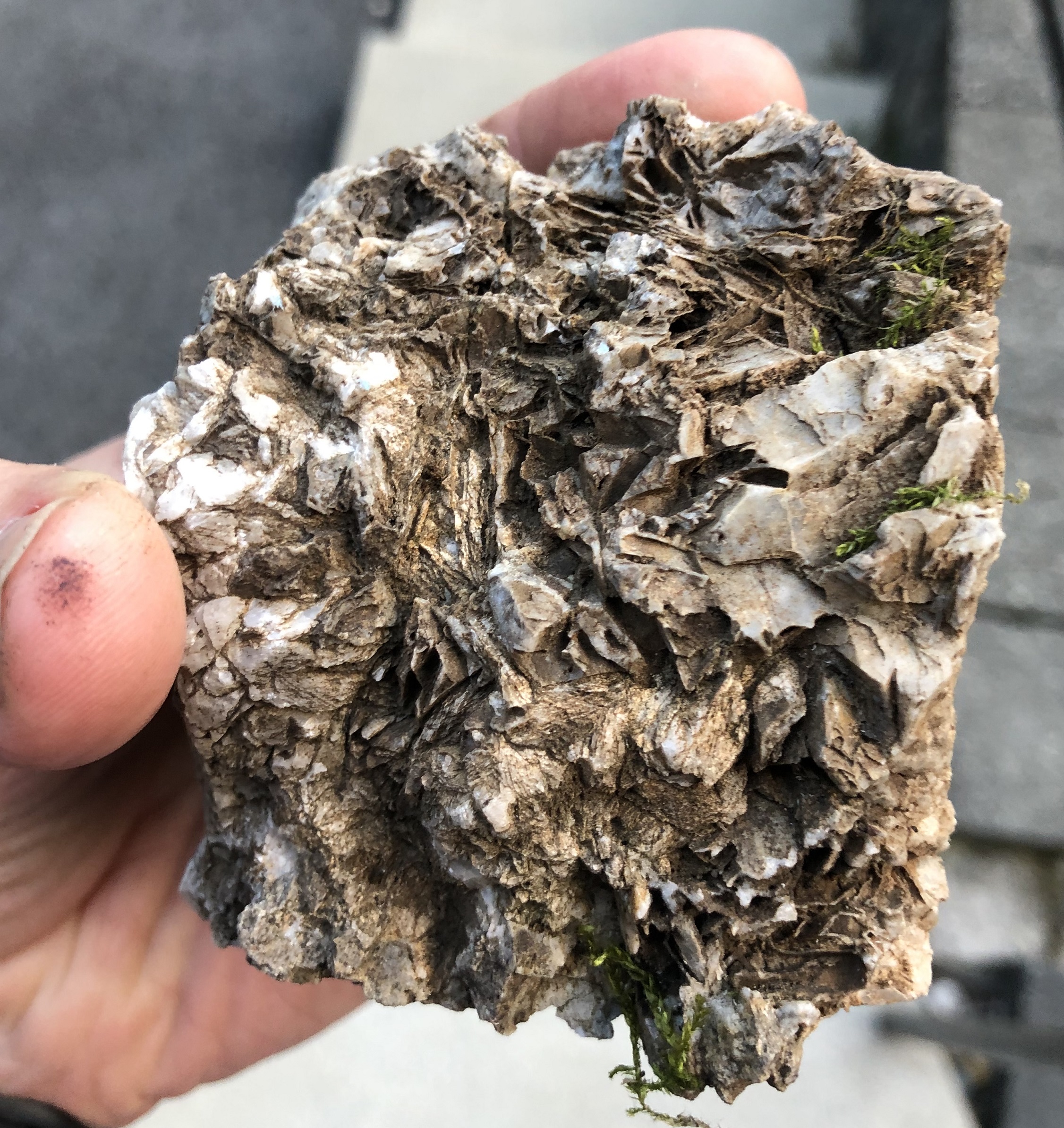
- Prospecting samples grading up to 46.9 g/t gold and 110 g/t silver
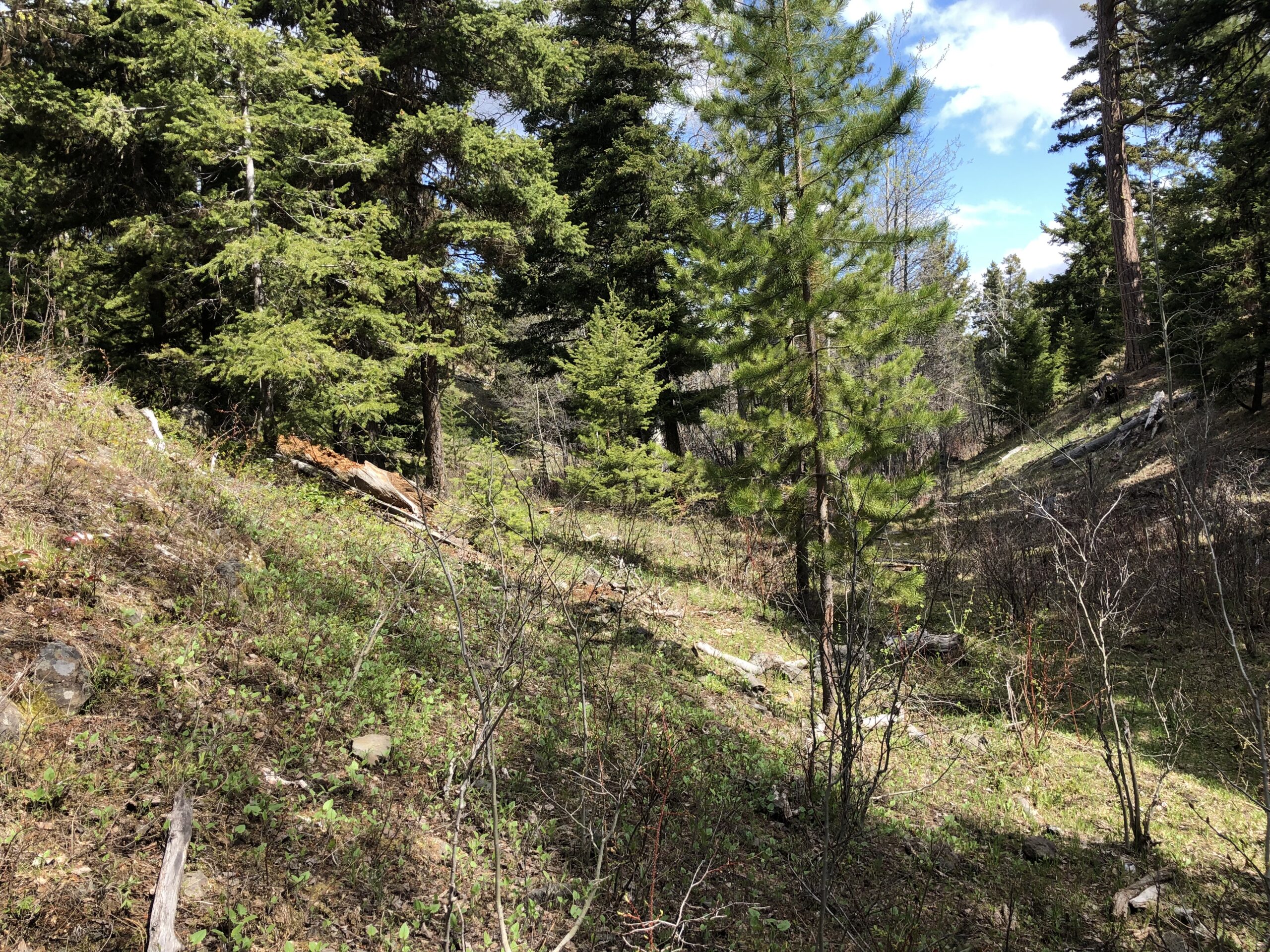
- Excellent road access to and through the property
- Short winter – long exploration season with low rainfall
- First phase drilling complete, undrilled targets
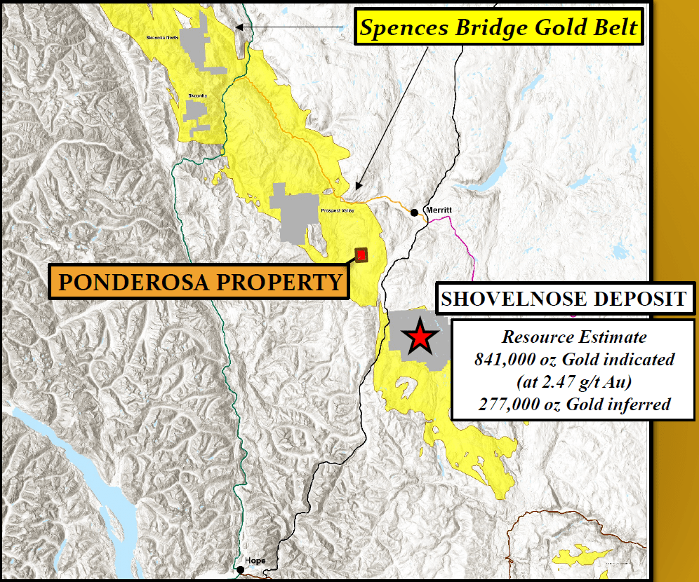
- Located in the Spence’s Bridge Gold Belt (3 hours drive from Vancouver, Canada)
Location
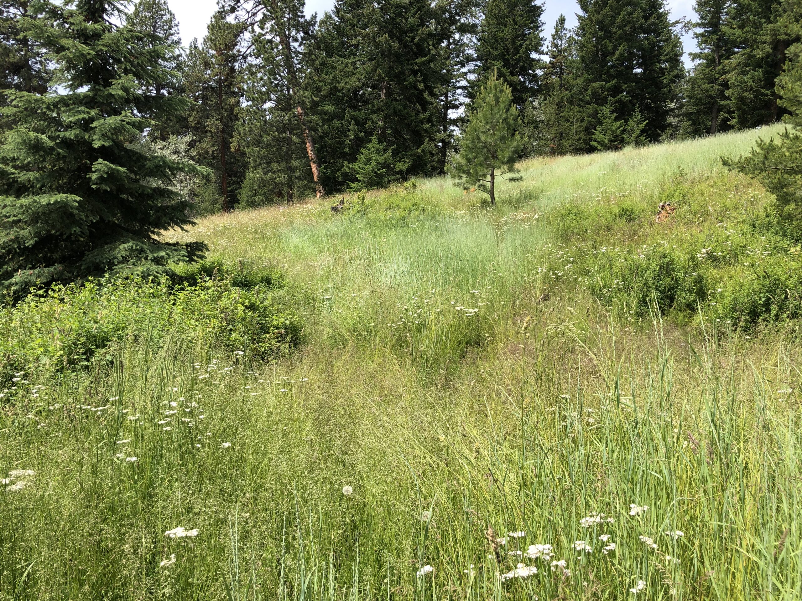
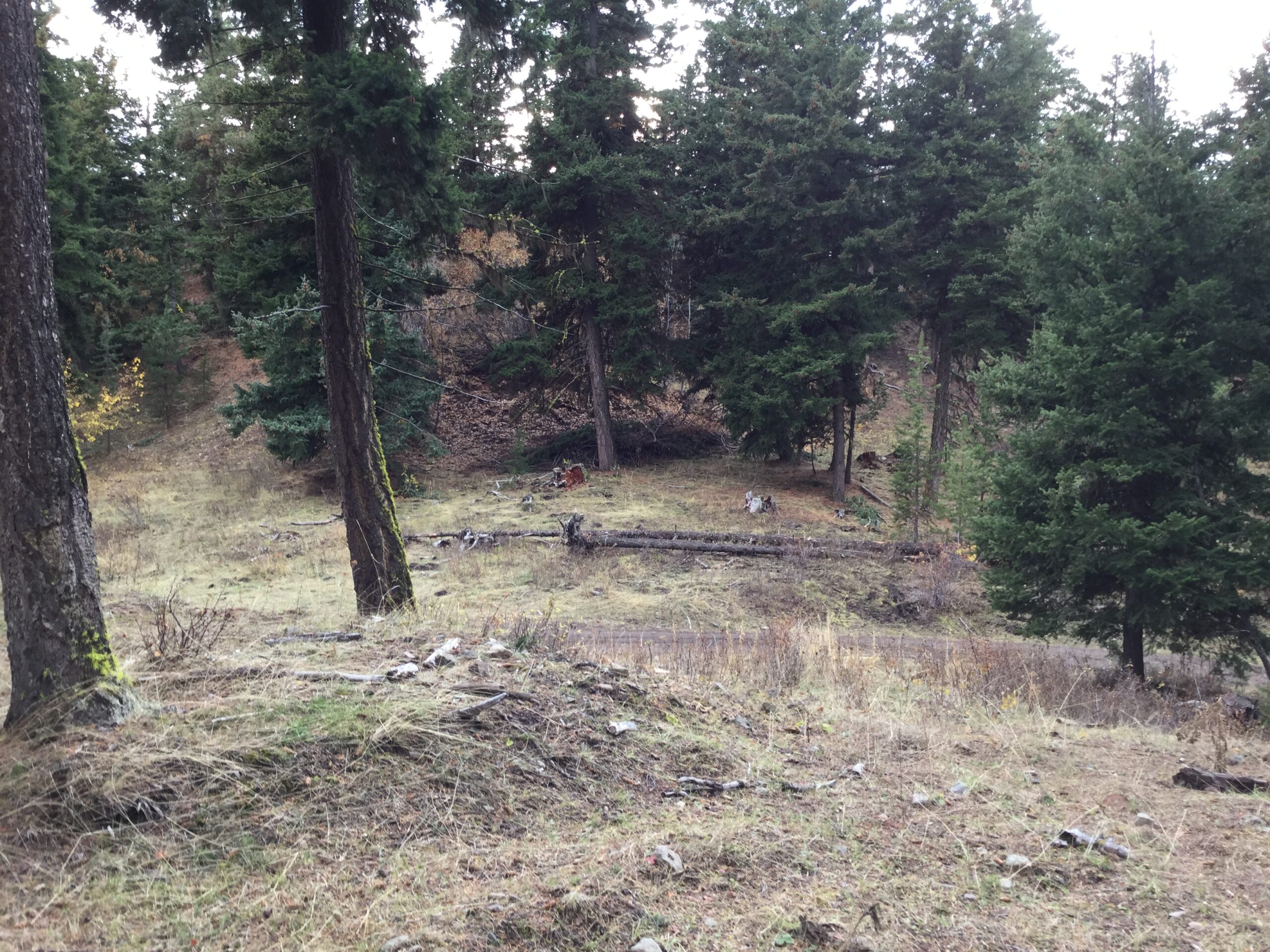
The property is located 16 km southwest of Merritt, BC, less than three hours drive from Vancouver, Canada. Access by road is via the sealed Coldwater Road from either Merritt or the Coquihalla Highway (Exit 256) and then 9km by way of paved and gravel roads from the Coldwater/Patchett Road junction. The property is located within the unceded traditional territory of the Nlaka’pamux People.
Geology
Poderosa lies within the Spences Bridge Gold Belt which forms a northwest trending belt roughly 180 km long and up to 24 km wide. Rocks of immediate interest in the belt and underlying much of the project area comprise successions of Cretaceous subaerial and pyroclastic volcanic flows which host significant gold mineralization at Westhaven Gold’s Shovelnose prospect approximately 20 km southeast of Ponderosa. Exploration at Shovelnose is somewhat hindered by relatively extensive overburden cover which in places exceeds 100 m thickness. Mineralization is contained in steeply dipping northwest trending vein zones cumulatively traced for 700 m along strike over vertical ranges up to 300 m. Significant gold mineralization is well constrained within a 140 m vertical range locally between 1138 and 1278 m elevation. Shovelnose core intersections exhibit classic crustiform-colloform-banded quartz-adularia ginguro textures.
About the Project
- 20 km NW of Westhaven Gold Corp’s Shovelnose Deposit in the Spences Bridge Gold Belt
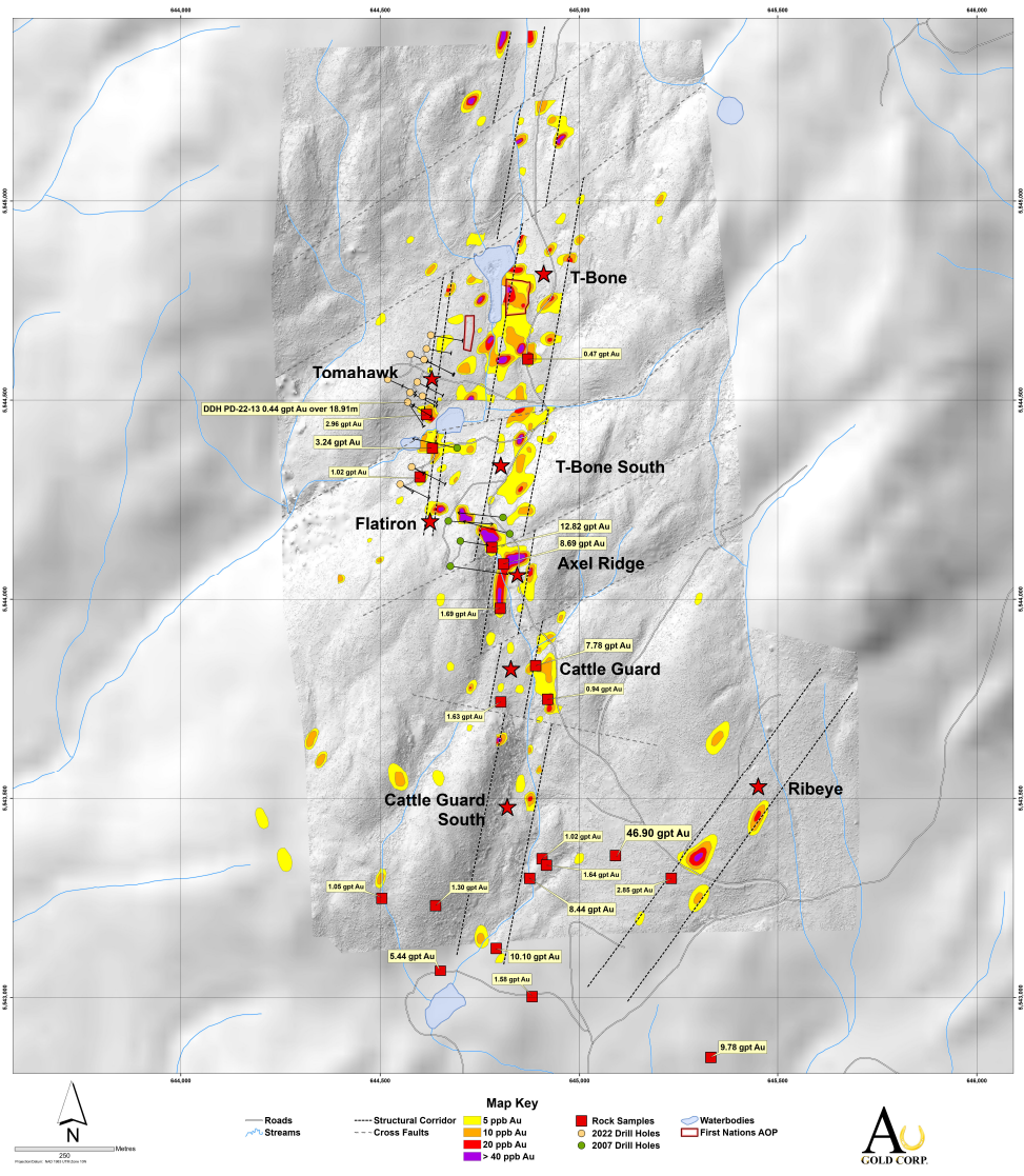
- Recently revised interpretation of the Ponderosa Structural Corridor: ~2 km north-trending en-echelon gold/arsenic soil geochemical anomalies
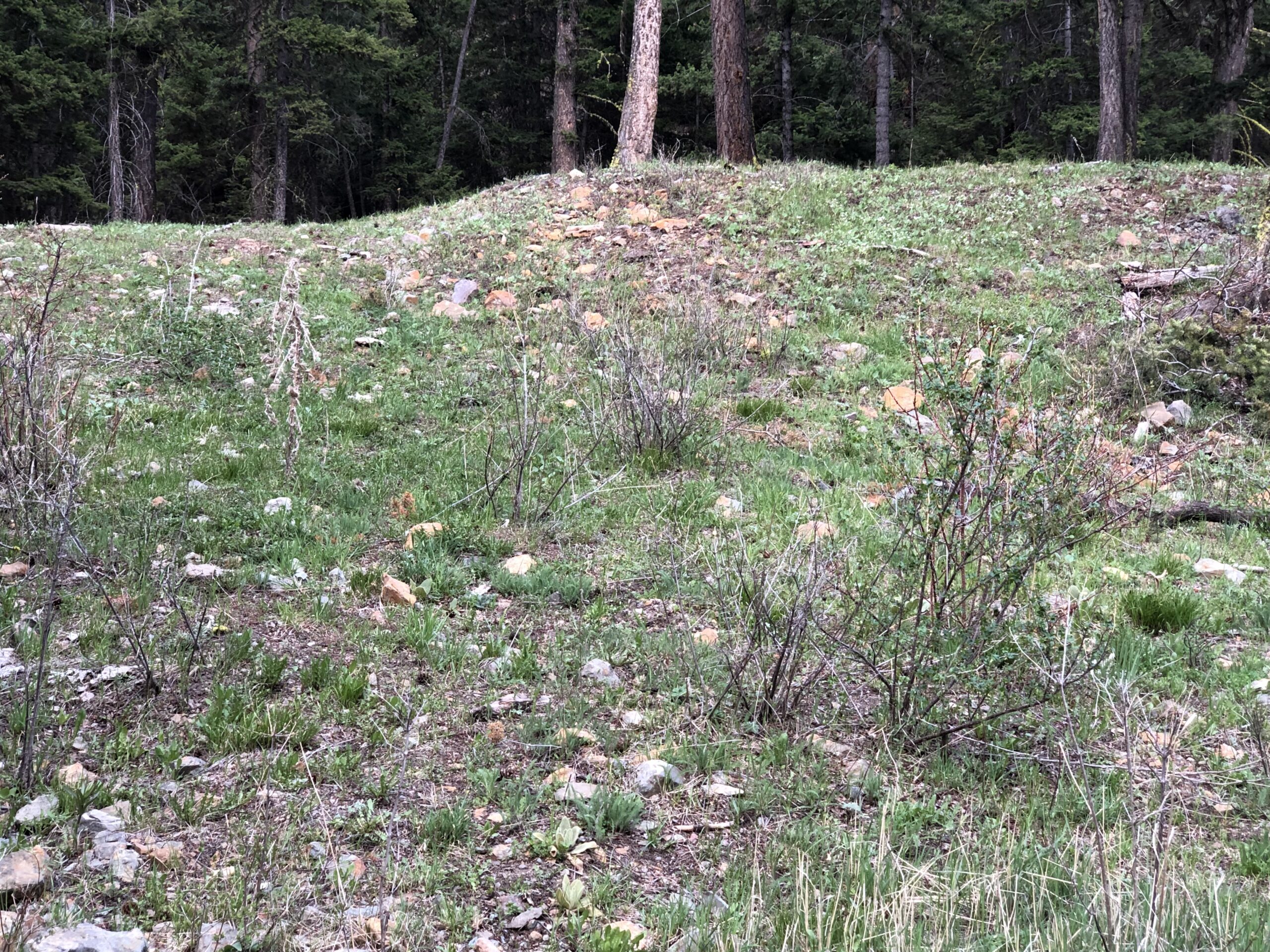
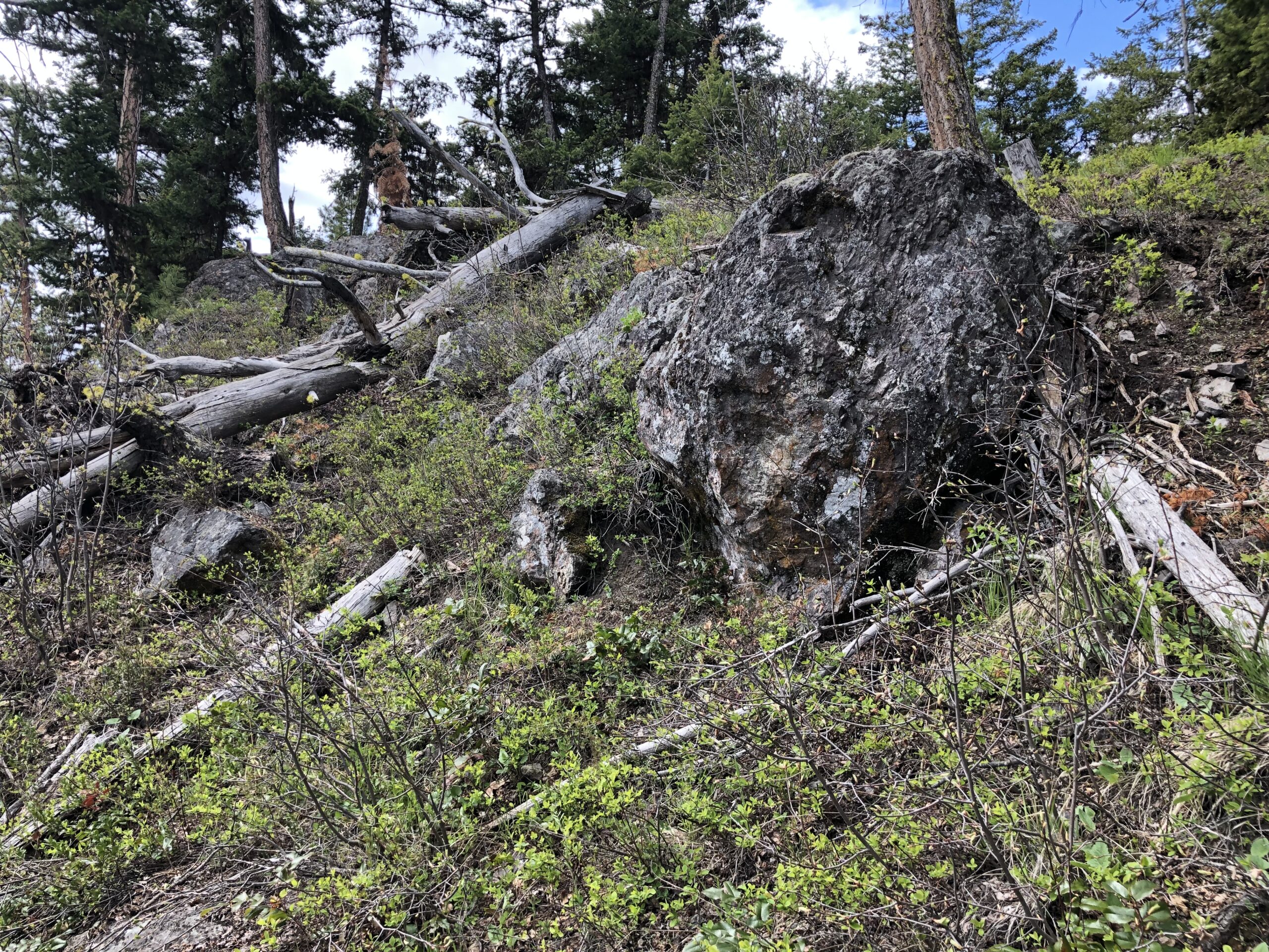
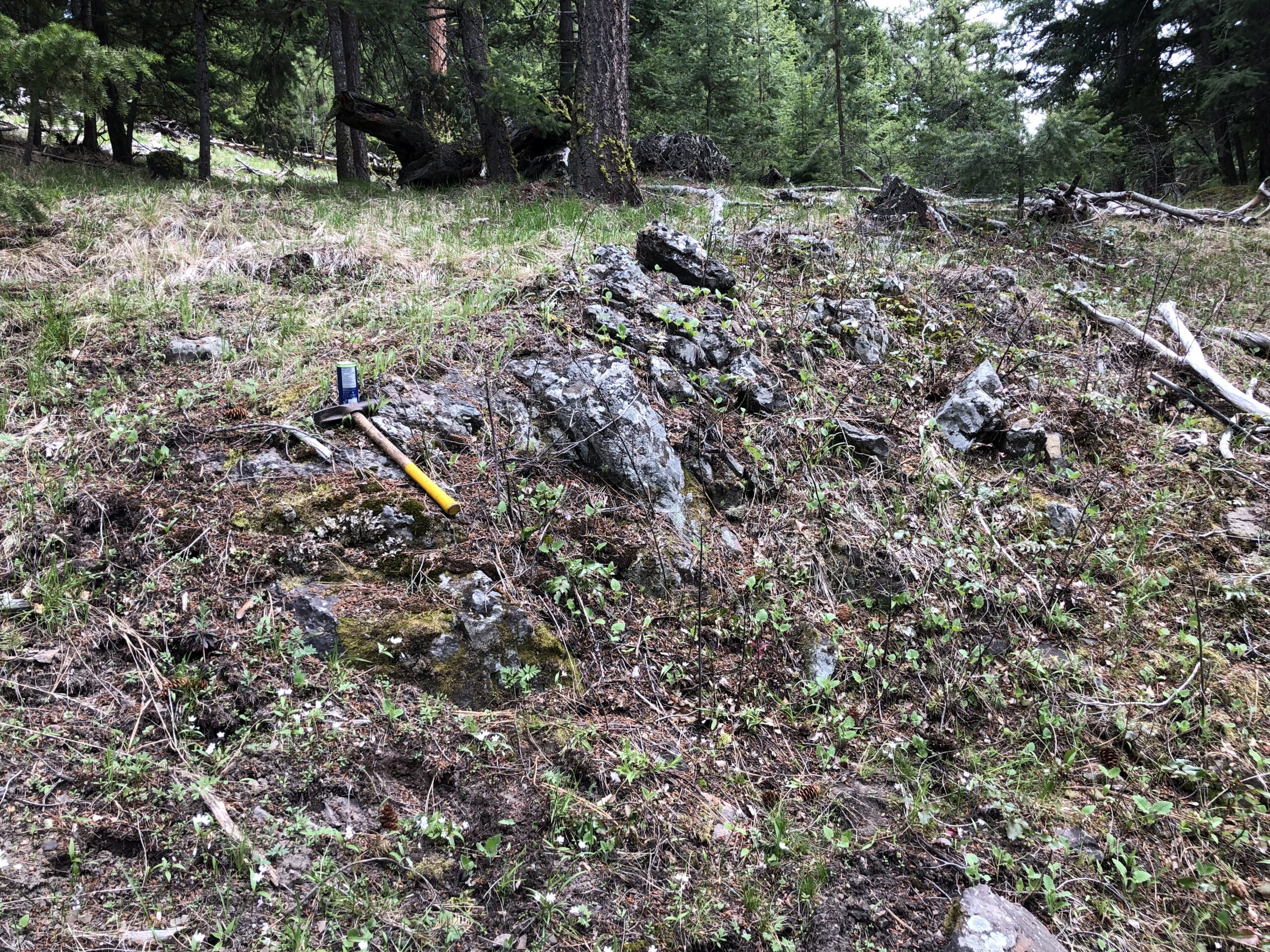
- Gold-silver Low Sulphidation Epithermal mineralization (mostly float/subcrop) documented along entire length of trend. Highest sample collected returned 46.90 g/t gold and 110 g/t silver
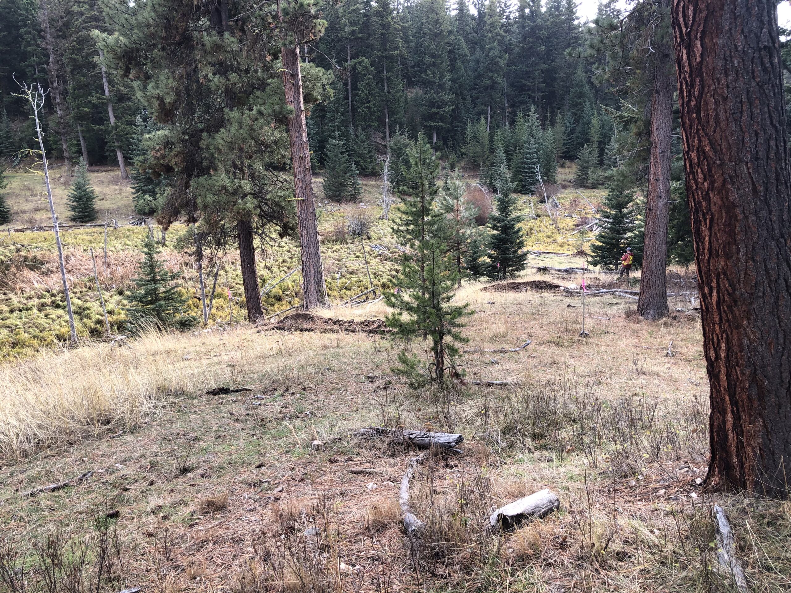
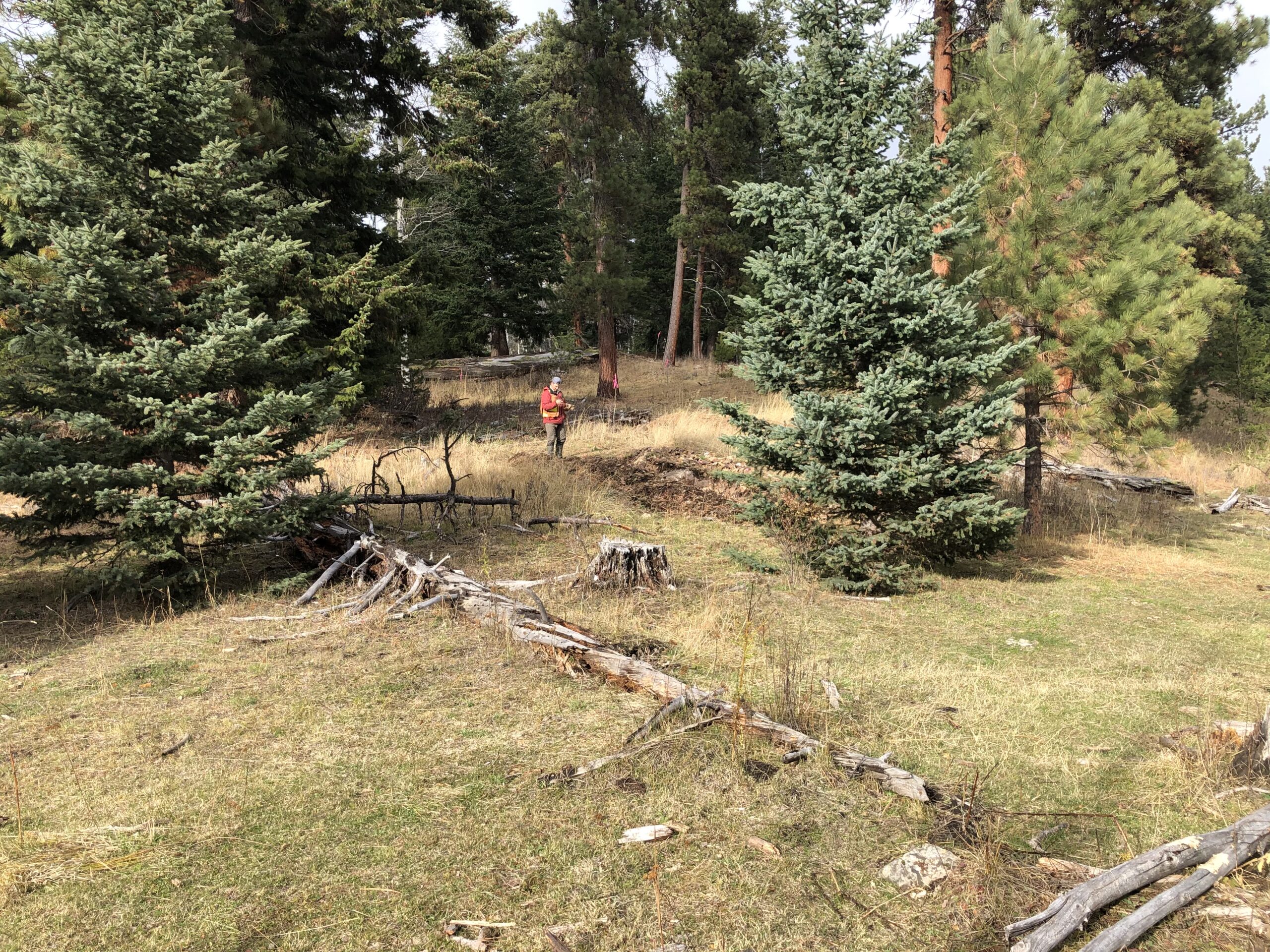
- Two-wheel drive access through 80% of the PSC
- The only drilling within the PSC is 125 m strike length of the Axel Ridge target in 2007
- Au Gold drilled the Tomahawk target in 2022, a secondary structural zone parallel to the PSC. Intercepts of epithermal vein mineralization including 18.91 m grading 0.44 g/t gold and 0.88 g/t silver
- Au Gold plans to conduct further detailed surface work along the PSC which would include detailed prospecting and mapping. In addition, the company has designed a cost-effective Rotary Air Blast (RAB) program across strategic sections of the PSC, to locate the source of the gold bearing fluids